Kanawha County Crawl Space Repairs: Check Mine Records
If a Kanawha County crawl-space repair proposal involves unexplained foundation movement, ask whether mining records belong in the investigation before agreeing on a permanent structural repair. A crack, sloping floor or damp area alone does not establish mine subsidence. The useful decision is who will investigate the cause, which records they will review and what the proposed repair is designed to address. West Virginia provides both mine-record resources and an Abandoned Mine Lands reporting route. They serve different purposes. This guide helps a homeowner prepare a non-emergency inquiry and compare the resulting repair scope. It does not determine whether a property has been undermined or whether a building is safe.Separate an urgent hazard from a records question
Do not enter an unstable crawl space or approach a new ground opening to collect evidence. For imminent danger, call 911 and follow emergency responders' instructions. A records search can wait when people or an occupied building may be at risk. WVDEP's AML emergency and complaint page lists open subsidence, subsidence damaging occupied structures, certain mine fires and damaging landslides among the situations it investigates. Its AML route concerns effects of coal mining before 1977. Describe the event and let the agency determine the applicable program; a homeowner does not need to prove the mining connection before asking where to report a concern. For Kanawha County, that page assigns the Southern Region and lists 304-926-0499, extension 41182. The program organization page independently places Kanawha in the Southern District. Use the linked pages to check the current contact. Ask for the appropriate route if the concern involves a currently permitted mine or a different cause.Use the county context without diagnosing your address
The WVDEP AML program page explains its public-safety and reclamation role and includes named Kanawha projects in its 2025 Planning List, discussed at 2026 meetings. Examples include Belle (Proctor) Landslide, Leewood (Pritt) Slide and Drainage, and Nunley Hollow (Hodge) Portals and Refuse. Those entries show why mining-related land conditions can be a relevant local records question. They do not show that your home is affected, that a listed project is complete or that private repairs will be funded. Do not infer a property boundary, hazard zone or current construction schedule from a project name. Ask AML whether any records or prior investigation correspond to the actual site. For a non-emergency inquiry, assemble the address, municipality, county, directions, a safe description of the observed change and the date it was first noticed. Include prior report numbers and any agencies already contacted. Keep older inspection photographs and repair records available, but do not go under the house merely to make the submission more detailed.Read a mine map as evidence with limits
Start with the West Virginia Geological and Economic Survey's Coal Bed Mapping Project. Its landing page links to the all-mining viewer, individual coal-bed views and map instructions. It explicitly warns that the dataset does not document all historic mining and contains known gaps. An empty-looking map is therefore not proof that mining never occurred beneath a property. The same resource explains that mine polygons can link to more detailed information and scanned maps. Save the map source, review date, selected layer and available mine or map identifier. A screenshot without its layer or record reference can be difficult for another person to interpret. Do not estimate a mine's relationship to your foundation from a small screen image alone. The survey's coverage explanations distinguish mined areas, coal resources, map boundaries and other layers. In particular, a mining-extent-unknown feature represents an incomplete or unavailable mine boundary. Some coal-map boundaries reflect the extent of mapping or adequate data, rather than the edge of an underground excavation. Ask the reviewing professional to explain the specific layer used in any report. This is why a map search should lead to a records question instead of a do-it-yourself repair decision. A nearby mine outline does not, by itself, explain a crack; a missing outline does not eliminate the need to investigate observed movement.Request the underlying record when needed
The West Virginia Mine Map Archives maintains indexes with fields including company, mine, county, seam and identifying numbers. It lists the Oak Hill Mapping and Engineering Section at 304-469-8100 for West Virginia mine-map information. Ask what records can be located from your site information and how to obtain the relevant public images. The archive also states that maps of currently permitted operations are confidential until the permit is closed with that office. Public availability and geological certainty are different questions. If a record cannot be supplied, document that limitation and ask the responsible agency or professional what next step is appropriate. Do not describe an unavailable map as evidence that a mine does not exist.Make the repair proposal answer the unresolved question
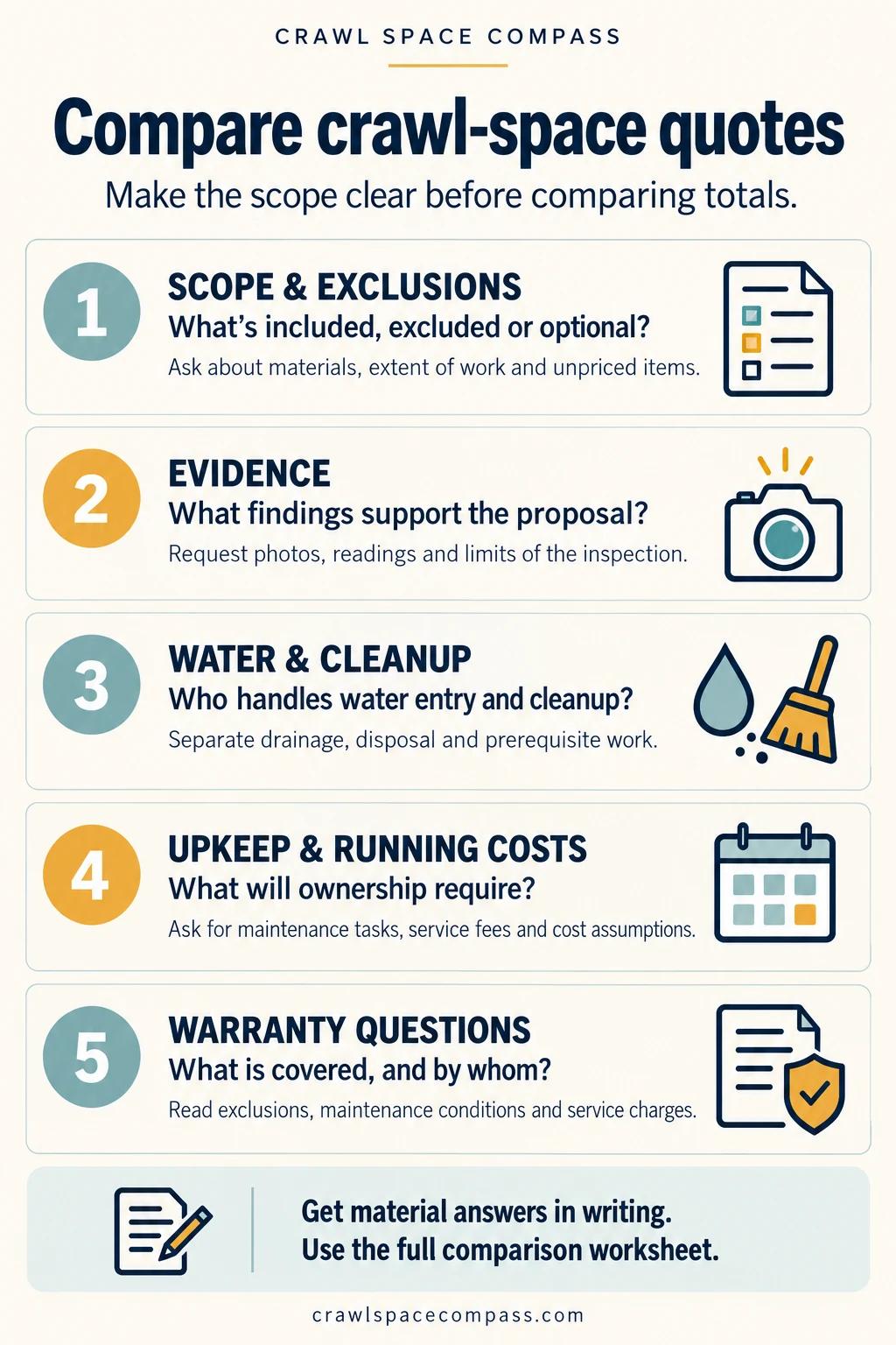
Ask a qualified structural engineer whether a geotechnical or mining-related assessment is needed for the observed condition. Give the reviewer the agency correspondence and map references alongside the crawl-space inspection. The following questions help separate investigation from installation:- Cause: what mechanism is established, what remains suspected and what evidence supports the conclusion?
- Records: which mine maps or agency findings were considered, and what are their limits?
- Design: what building components will be repaired, and which ground-condition assumptions does the design depend on?
- Sequence: does further assessment need to occur before supports, excavation, drainage or enclosure work begins?
- Scope: what investigation, engineering, permits, inspections and restoration are included or excluded?
- Follow-through: what completion records and any recommended monitoring will be supplied, and who reviews changes?