Guilford County Crawl Space Work: Check the 2026 Flood Maps
If you are planning crawl space work in Guilford County, refresh the property's flood-map information before relying on an old inspection report or contractor proposal. The county's updated flood maps became effective June 10, 2026. Save the current map information, identify the reviewing jurisdiction, and ask how it affects the specific work being proposed. This is a project-planning check for Greensboro, High Point and other Guilford County properties. A flood map cannot diagnose the source of crawl-space dampness or establish that a home outside a mapped area will never flood.Start with the June 10, 2026 effective date
Guilford County's flood mapping update page records county adoption on May 7, 2026 and the new maps' effective date of June 10, 2026. It distinguishes the county's adoption date from those of individual local communities. The page still contains headings and explanatory passages about preliminary maps. Use its dated schedule when understanding the completed update, then confirm the effective information for the property. The county's live GIS service now identifies a layer as Flood Zones Effective 06-10-2026. If a proposal uses a map saved before that date, ask the contractor to check it again. A newer map does not automatically require a different crawl-space product. It means the project should be evaluated using the right property information.Save a map record that another person can understand
The county links to North Carolina's Flood Risk Information System, or FRIS, and its own GIS Data Viewer. Its guidance distinguishes effective-map information from preliminary-map comparisons. Start with the effective view and read the labels before saving anything. For the contractor and reviewing office, record:- The property address and parcel identification
- The map source, panel information where available, effective date and date you checked it
- The displayed zone, floodway and other relevant layer labels
- A view showing the house, proposed work area and nearby mapped boundary
- Any existing elevation certificate or property-specific map determination supplied by the owner
Check city limits and ETJ before contacting an office
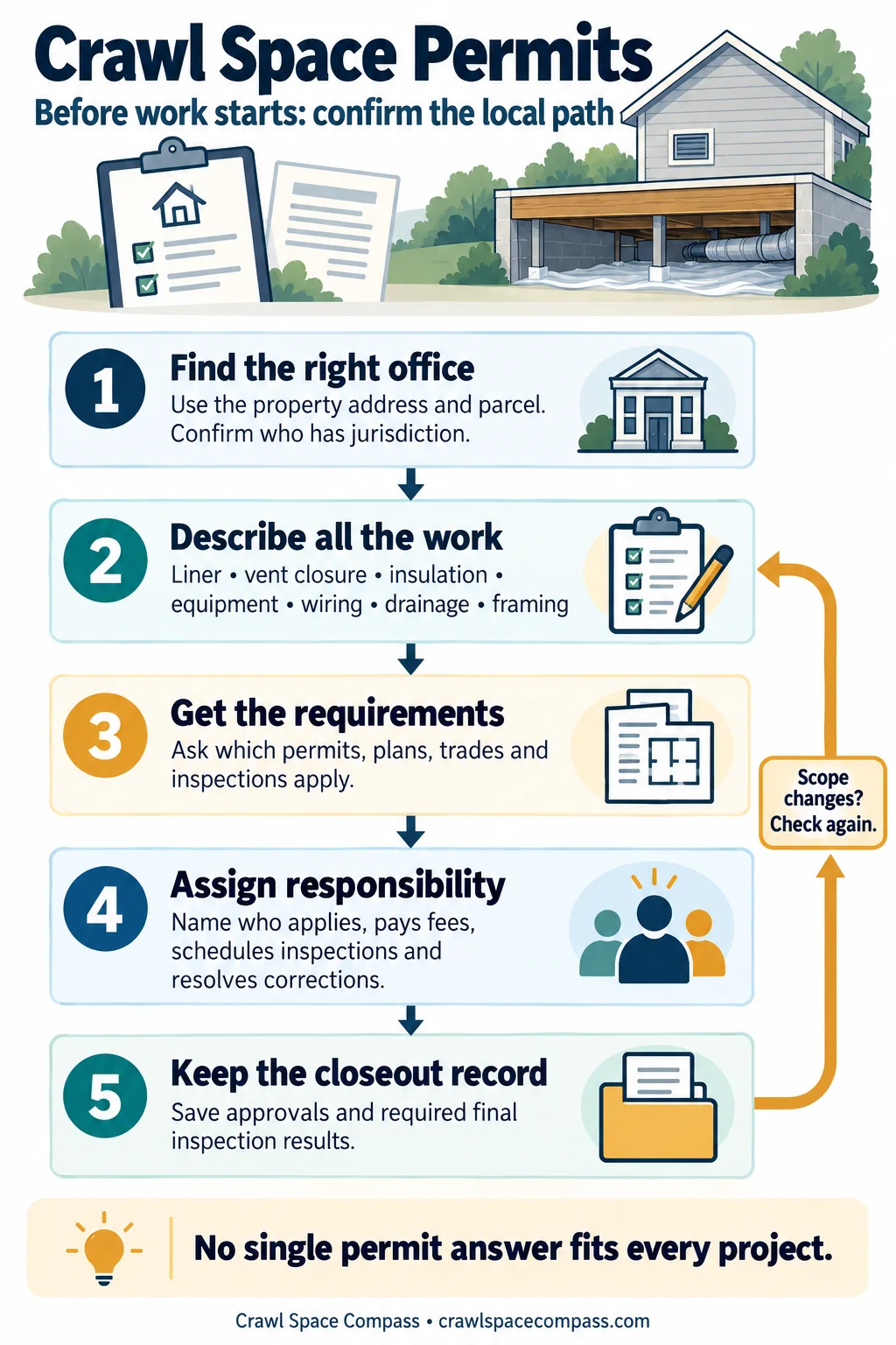
Guilford County's Watershed Protection and Stormwater Management page directs Greensboro questions to Water Resources and High Point questions to Engineering Services. It separately identifies the communities served by the county's own stormwater and floodplain contact. The same page explains how to turn on the GIS viewer's City Limits Boundaries and Extra Territorial Jurisdictions layers. An extraterritorial jurisdiction, usually shortened to ETJ, is another boundary to check when identifying the appropriate office. Ask staff to resolve an uncertain address rather than relying on a postal city or a contractor's service-area label. When you contact the office, describe the actual changes: replacing a ground cover, closing openings, installing equipment, repairing supports, excavating a sump or changing exterior grading. Ask whether floodplain review, building review or separate trade review applies, and who can answer each part.Distinguish the house, the work area and the whole lot
A mapped boundary on the back of a parcel is different information from a boundary crossing the house or a proposed excavation. Mark each location separately. Guilford's GIS layer cautions that its data are not survey-grade documents and may contain inaccuracies or omissions. Do not measure a critical building elevation or setback from a screen image. If the relationship between the structure and the mapped area is unclear, ask the official whether a survey, elevation information or another property-specific record is needed. Give that answer to the bidder before finalizing the design. Keep an older elevation certificate or FEMA determination available for review rather than assuming it is irrelevant or automatically controlling. Also keep the moisture inspection separate from the map check. Record when water appears, where the first wet areas occur and what the inspector actually observed. The county warns that flooding can occur beyond modeled floodplain limits. A clear map area therefore does not eliminate the need to investigate a wet crawl space.Give every bidder the same current information
Bundle the map record, relevant property documents, inspection photographs and the official's project-specific guidance. Ask each bidder to state which assumptions they used and identify unresolved questions. This helps expose differences that a single total price can hide. For example, one hypothetical quote may cover only a replacement liner, while another includes vent changes, powered equipment and exterior excavation. Those are different scopes even if both are described as encapsulation. Ask who will verify the necessary approvals before ordering materials and what happens if the reviewing office requires a revised design.