Buncombe County Crawl Space Work: Hillside and Landslide Checks
Before crawl-space drainage or repair work on a Buncombe County hillside, separate the moisture problem from any question about the slope itself. A liner or dehumidifier proposal does not establish whether nearby ground is stable. If the job includes digging, redirecting water or changing a retaining structure, put those changes in front of the appropriate local reviewer and qualified site professional before work starts. This guide helps homeowners around Asheville and Buncombe County organize records, referrals and contractor scopes. It does not rate a parcel's landslide risk, predict an event or provide excavation, drainage or retaining-wall design.When the next step is safety, not a crawl-space visit
North Carolina Emergency Management's landslide guidance identifies changes such as new or widening ground cracks, bulging soil, unusual drainage, newly emerging water and tilting trees or retaining walls as warning signs. It also advises staying away from a slide area and seeking geotechnical expertise to evaluate landslide dangers. A crack or wet area alone is not a diagnosis. However, if there is active movement, rumbling, falling debris or an immediate threat, move away from the hazard if safe, call 911 and follow local emergency instructions. Do not enter the crawl space to photograph damage, investigate a slope during a storm or wait for a routine contractor appointment when safety is in question. For a non-emergency concern, ask a qualified professional to determine whether a site assessment is needed before ordinary moisture work proceeds. Keep existing inspection reports and photographs already obtained safely; do not disturb the ground to make the evidence more visible.Use landslide maps to prepare questions
The Landslides in Western North Carolina website provides access to current and historical landslide information and the North Carolina landslide inventory. The project is a collaboration involving the North Carolina Geological Survey and UNC Asheville's NEMAC. Its data-use explanation is important: these products support general planning and do not replace an on-the-ground assessment by qualified people. Save the map name, layer, date viewed and location you were examining. Ask the assessor what a mapped feature means for the proposed work and which information is missing. A marked landslide is not a forecast for your house; an unmarked location is not a clearance to excavate. Do not turn a map color into a contractor's design instruction. The project's risk-reduction guidance advises consulting a geologist before modifying slopes mapped with a high or moderate probability of sliding. Ask whether the assessment needs to consider land uphill or downhill of the crawl-space work, rather than restricting the discussion to the foundation footprint.Gather the Buncombe County records that help
Buncombe County GIS links its mapping tools, slope tool and updated imagery, including post-Helene imagery. The county warns users to verify GIS-derived information before acting on it. An aerial image can help explain where a proposed trench or discharge route would run; it cannot show every buried feature or establish the present condition of a slope. Use available records to build a short project file:- Location: Parcel information and the office responsible for the property, rather than only the postal city.
- History: Previous site assessments, foundation repairs, retaining-wall work, drainage plans and any known changes after a storm.
- Observed condition: Where water appeared, when it was noticed and whether the observation came from the homeowner or an inspector.
- Proposed change: The area to be disturbed, equipment access, removed or added material, and the suggested water outlet.
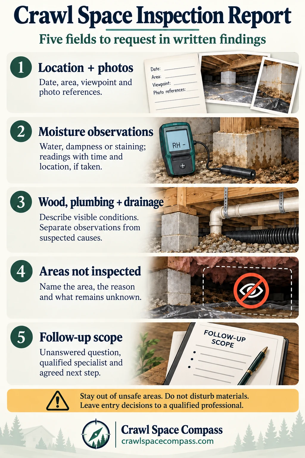
- Unanswered questions: Areas not inspected, missing plans and questions the moisture contractor has referred to another professional.
Ask about the actual disturbance, even for a small job
The county's subdivision and land-disturbance information notes that some activity under an acre is regulated in specified zoning and hillside contexts. This is a reason to ask about the parcel and proposed scope, not a claim that every crawl-space repair needs subdivision approval or the same permit. Describe the outdoor work separately from the indoor work. “Crawl-space waterproofing” could mean a ground covering, but it could also include excavation, a new drain outlet, access across a slope or changes around a retaining wall. Ask the local office which reviews apply, what plans it needs and what must be inspected before concealment. Let the responsible professionals determine the technical solution.Make the professional handoff explicit
Ask each proposal to name the problem it addresses and the limits of the assignment. Useful questions include:- Who evaluates the hillside or ground-movement concern, and what written findings will that person provide?
- Who assesses any damage to the house, and how will that assessment be coordinated with the site findings?
- Which moisture repairs can be priced now, and which depend on the assessment or local review?
- Who approves changes to the drainage route, excavation or retaining structure if new conditions are found?
- What must remain accessible, and which documents or inspections are required before a liner or other finish conceals work?